Possibly a standalone sensor for cloud conditions. Cloud base elevation above ground level; coverage few, scattered, broken, overcast; and ceiling. This is standard for airport AWOS weather systems so the tech exists. I am a pilot and live where there is a private turf runway. The closest AWOS data is 45+ miles away. In a coastal or mountain region cloud conditions can be different 5 miles away. In a coastal area the difference between open water, barrier island, tidal marsh, bordering mainland, and inland may only span 10 miles but each may have its own weather. I sure would like the option of cloud data at our location to fill in the 80+ mile gap between AWOS stations. My current Tempest system is great at telling me what the actual weather is halfway between barrier island and bordering mainland. Just need cloud data to complete the picture.
I bought myself a very cheap chinese 180 degree camera. It has starlight and can see clouds even at night (without IR lighting). Perhaps because I’m living in a city, so the clouds are always faintly illuminated, but it is so sensitive that it sees clouds at night, I can’t even see.
Here is a daylight video from some time ago clouds - YouTube
and here is a nighttime one https://youtu.be/Z8vDw9cnYUk (only few clouds, but you can see the big dipper). Note that this is still a color image, not b&w and you can see the sensor near the bottom edge of the image.
It probably isn’t a sensor like you wanted, but it might be useful for you.
The camera is available from various sellers with various options under various brands. Here is one 2MP 0.0001Lux Ultra Illumination Dome Starlight AHD Camera 1.7mm Lens 180 Degree View Vandalproof Fisheye Analog Camera With OSD|Surveillance Cameras| - AliExpress . I got the one with Power-over-Ethernet (PoE), so I need only one cable to my roof.
Hi @abbott ,
I am guessing this request will take a long while. I would like the same so I source the information already using other methods.
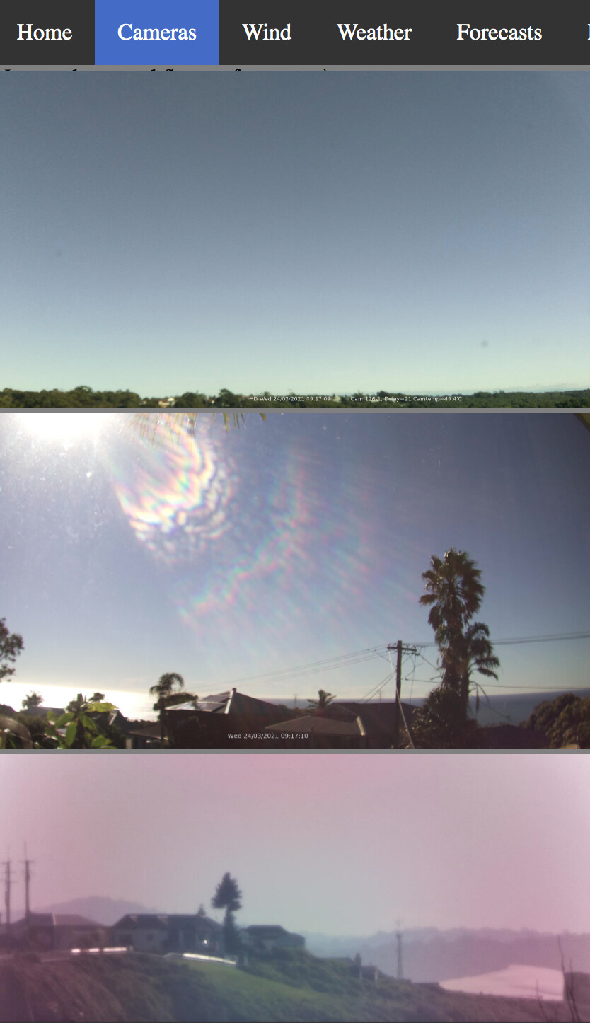
I use raspberry pi cameras looking in each direction which update their pictures every minute to a web page where I (anyone on the web) can see the clouds and who is flying.

It is also possible to do a rough calculation to calculate the expected cloud base. Discussed here: https://groups.google.com/g/weewx-user/c/kQZvc6UpLtA
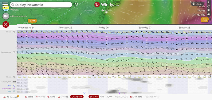
And for the layers at altitudes including the wind directions and temperatures of those layers I find the windy.com presentation very useful.
cheers Ian

