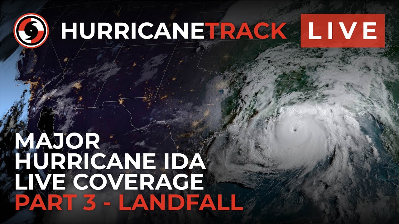
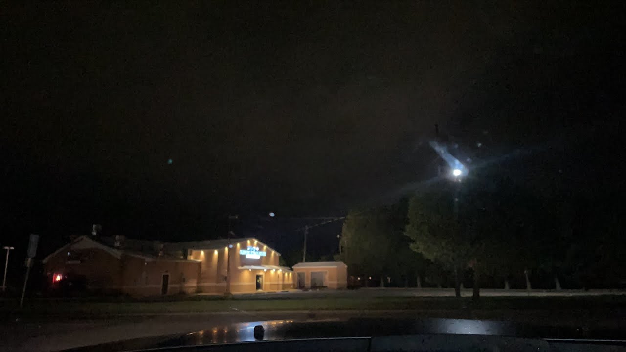
For those in that region, stay safe and do follow orders.
That’s nice. We need the rain.
I’ve been monitoring the Tempest units in the New Orleans area being impacted by hurricane IDA and I’m not really seeing high wind gusts or wind speeds. Many units are obviously out of service, but the ones that are in service show modest wind totals.
Any idea what is going on?
Hi Algiorda,
I’ve noticed the low wind speeds as well. I’m watching Jim Cantore struggling to stand up on Canal Street in New Orleans. The Tempest on the same street has recorded a maximum gust of 50 mph and sustained winds speeds of only 20 mph ( canal street ) . I appreciate that the location of this station may be less than ideal but a lot of stations in the area are reporting winds around 25 mph average wind speeds.
Looks like NOAA likes Weatherflow too!
NOAA NWS National Hurricane Center
…IDA PASSING JUST EAST OF HOUMA LOUISIANA…
…CATASTROPHIC STORM SURGE, EXTREME WINDS, AND FLASH FLOODING CONTINUES IN PORTIONS OF SOUTHEASTERN LOUISIANA…
A Florida Coastal Monitoring Program observing station at the South Lafourche airport recently reported a sustained wind of 93 mph (150 km/h) and a wind gust of 122 mph (196 km/h).
A Weatherflow site near Dulac reported a sustained wind of 91 mph (146 km/h) and a wind gust of 116 mph (187 km/h) within the last hour.
Also within the last hour, a Weatherflow site near Jefferson Parish reported a sustained wind of 48 mph (78 km/h) and a wind gust of 82 mph (131 km/h).
The New Orleans Lakefront Airport reported a sustained wind of 58 mph (93 km/h) with a wind gust of 83 mph (133 km/h).
SUMMARY OF 500 PM CDT…2200 UTC…INFORMATION
I take it that you didn’t see this Weather Channel faking a hurricane video from a few years ago?
https://www.youtube.com/watch?v=ZyrRCx8-fZk
.
That thought DID cross my mind! LOL
Maybe someone could go to those weather stations web sites and grab a screen shot of the graphs of history data to verify those readings? Anyone??
I think they are talking about WeatherFlow stations that are part of the WeatherFlow Hurricane Network … Hurricane Network - WeatherFlow (or maybe one of their other mesonets).
The one mentioned is a Hurrnet station on a pole in open field like 10 meter (34 feet) above ground. You can’t in any way compare this with most Tempest setups that are not often in open fields and even less at 10 meters high. Wind speed decrease rapidly related to hight above ground as explained in this article
still I found a Tempest near New Orleans that did the job pretty nice

Article published by Shea Gibson from Weatherflow
article published today


