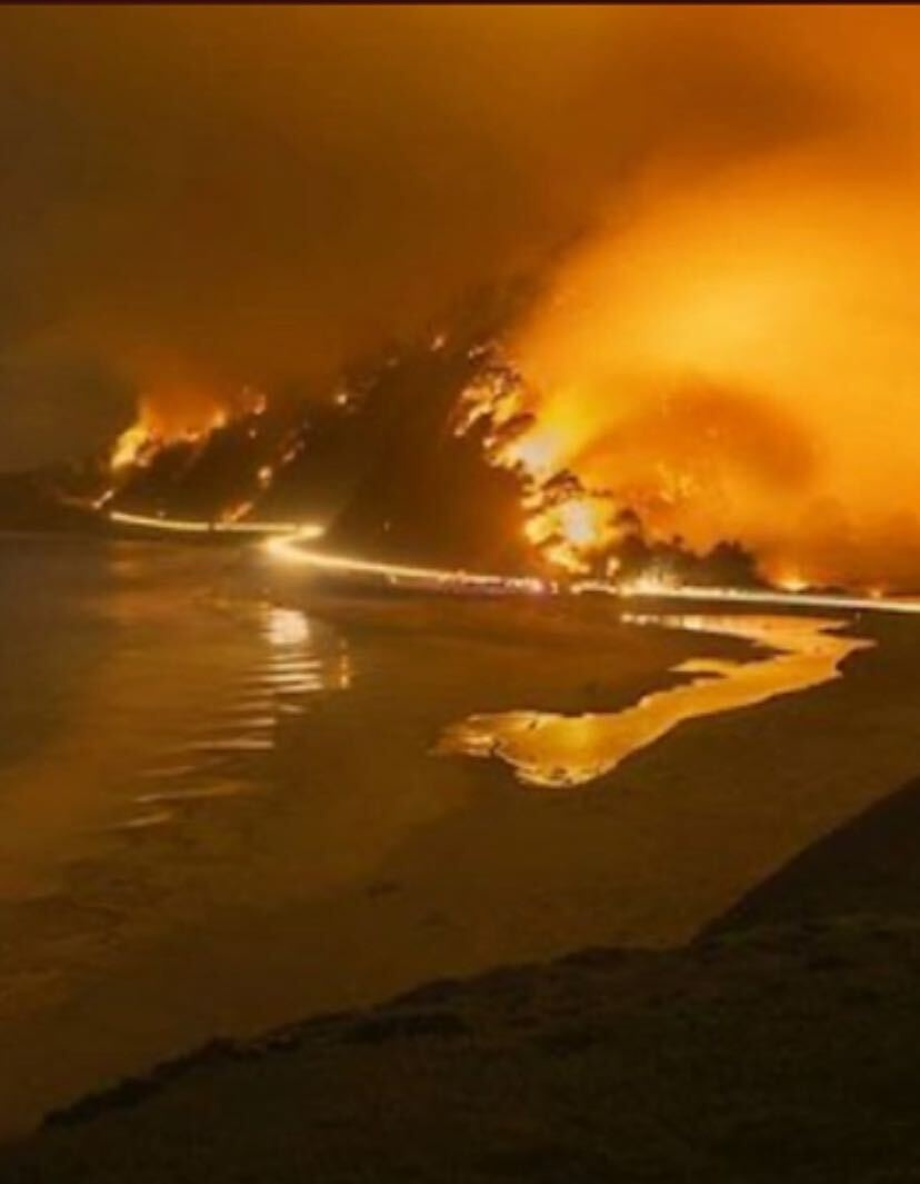
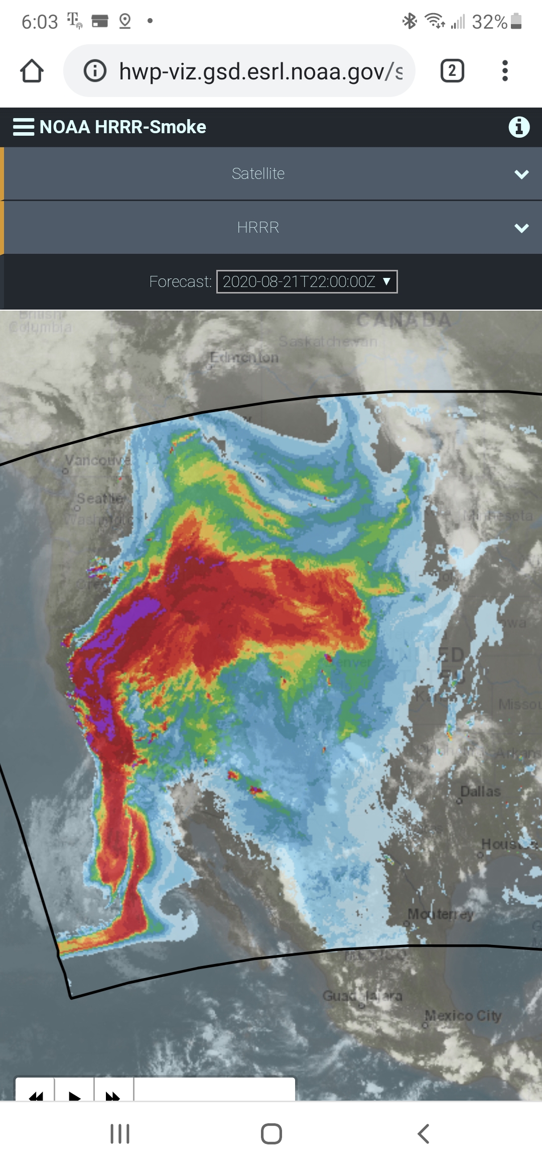
As many of you know, California is experiencing a rash of wildfires that have already destroyed nearly 700,000 acres and claimed five lives. Fed by strong winds, heat and low humidity, the fires have forced more than 60,000 people to evacuate. Our corporate headquarters sit within a mandatory evacuation zone in Santa Cruz County, and several of our nearby team members have left their homes for safer locations. Our thoughts are with everyone affected by this unfolding disaster.
For sure no one is going to read our messages at this moment in California, still I hope all will be fine and in a few days everyone can be back safe and sound.
Wow I hope you stay safe! It brings back memories of the bushfires that we had here in Australia at the start of the year. Wiped out a lot of flora and fauna unfortunately.
Gary, Same in Franktown. Last evening we finally got some rain - .36 inches as measured by our Tempest. First significant rain here since 17 July and you know how hot and dry it has been!
Dave…